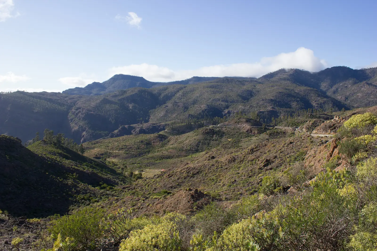
The nearest official hike is route R8 from Barranquillo Andrés to Soria in the valley behind Arguineguín: 10 km, about 4 hours, moderate to high effort. Mogán council publishes nine routes in all, and a car is almost essential to reach them.
The hiking starts where the coast ends. Behind Arguineguín the road climbs the Barranco de Arguineguín through Cercados de Espino and Barranquillo Andrés to Soria, and Mogán council has marked and described routes there and in the neighbouring valleys. The nearest is R8, Barranquillo Andrés to Soria: 10 km, about 4 hours, rated moderate to high effort. The council publishes nine routes in total, from an easy 7.8 km valley crossing to a 30 km multi-day trail.
If you only want a flat walk by the sea, that is a different outing: the coastal walk to Patalavaca and Anfi is easy and needs no planning. The routes below are mountain walking, with loose ground, drops and little shelter from the sun.
The council's nine routes at a glance
Mogán's tourism site lists these routes with distance, duration and effort. The figures are the council's, and they describe the walks as indicative only.
| Route | Distance | Time | Effort |
|---|---|---|---|
| R1 Veneguera – Cruz de Mogán | 7.79 km | about 3 h 30 | Low to moderate |
| R2 Los Azulejos – Los Quemados | 6.68 km | about 4 h | Moderate to high |
| R3 Hoya del Salitre – Laderones | 6.92 km | about 4 h | Moderate to high |
| R4 Tauro – La Solana | 11.9 km | about 7 h | High |
| R5a Tauro – Laderones | 9.1 km | 5–6 h | High |
| R5b Tauro – Taurito – Laderones | 12.2 km | 5–6 h | High |
| R6 Caideros de Tauro – La Solana | 12.1 km | 5.5–6 h | Moderate |
| R7 La Solana – Los Roques | 8.2 km | 3.5–4 h | Moderate |
| R8 Barranquillo Andrés – Soria | 10 km | about 4 h | Moderate to high |
| R9 Tamaranae macro-route | about 30 km | not given | Moderate to high |
R8: from Barranquillo Andrés to Soria
This is the walk that sits in the Arguineguín valley itself. It starts in Barranquillo Andrés, a hamlet in the middle stretch of the barranco at about 620 m, beside the church, and climbs by concrete track and then dirt road past a palm grove. It continues up to the pass at Majada Alta, where the caves are an important archaeological site with painted figures, then descends past the Presa de las Niñas and drops by zigzag path to Soria. The council calls it nearly a circuit through two of the dams.
It is not a gentle one. The council warns about sparse waymarking at the start of the path and around Majada Alta, stretches in poor condition, loose earth that causes slips, and wet ground on the descent to Soria. Look back as you climb: the view over the walls of the barranco is one of the rewards.
R7: the shorter option from the Soria road
R7, La Solana to Los Roques, is 8.2 km and rated moderate. It starts on the road between Arguineguín, Cercados de Espino and Soria, about 1 km from Barranquillo Andrés, and passes the La Solana fruit farm after roughly 300 m. The council warns about loose earth on the descent by Morro del Pinillo and poor waymarking at the end if you walk it in reverse.
R1: the easy valley crossing to Mogán village
R1 is the gentlest of the nine: 7.79 km, about 3 hours 30, low to moderate effort, mostly with good waymarking. It runs from the Degollada de Tasarte on the C-810 down through Veneguera's cactus and spurge scrub to the Cruz de Mogán pass, then down to Mogán village. Its start and end are far apart, so you need a taxi, a lift or a bus plan; Mogán village is the finish.
The big ones: Tauro and the dam routes
R4, R5 and R6 climb the Montaña de Tauro from the Presa del Salto del Perro, reached from the Ayacata–Barranquillo Andrés road or from the Mogán valley. R4, 11.9 km and about 7 hours, carries the council's warning about sunstroke and drops, and asks walkers to follow the cairns (mojones) carefully. R6 at 12.1 km is rated moderate, but the council points to a narrow ledge at the edge of a precipice near Palmarete. These are full-day mountain walks and not for a first outing. The council's macro-route R9 links Degollada de Tasarte, Molino de Viento, Barranquillo Andrés and Soria over about 30 km.
Getting to the trailheads
The distances by road from Arguineguín are about 14 km to Cercados de Espino (roughly 23 minutes) and about 25 km to Soria (roughly 39 minutes), calculated without traffic. A hire car or a taxi is the realistic way. By bus, Global's line 6 links Barranquillo Andrés, Cercados de Espino and Arguineguín with one departure a day in each direction, early in the morning (06:30 from Arguineguín, 07:05 from Barranquillo Andrés on Global's timetable), so it does not give you a day-walk return. Check Global before you plan around it, and see buses from Arguineguín and the Barranco de Arguineguín page for more on the valley.
The mountains behind the coast are also the way to Roque Nublo, which now needs a free online reservation; that has its own page: Roque Nublo and the mountains.
Safety: heat, drops and loose ground
Barranco walkers' checklist: the council's own advice is to take proper footwear, enough food and drink, and sun protection, and to ask in the village for the current state of a path before you set off. Paths change, and the signs say so.
Expect little shade, and the sun is strong all year; sun, heat and UV on Gran Canaria sets out the basics. In calima, the dusty haze most common from December to March, visibility and air quality drop. Tell someone your route and your return time, and don't count on a phone signal in the barranco. In an emergency call 112 (see emergency numbers). Check that your travel insurance covers hiking and any mountain rescue, since the GHIC and EHIC cover state healthcare only; travel insurance, GHIC and EHIC has the detail.
Canyoning and other options
The council also publishes a canyoning guide for the municipality's ravines, which is for experienced groups and not covered here. If you want gentler days out, cycling is on the road cycling page, and bikes, SUPs and kayaks can be hired as described in the rental guide.
Frequently asked questions
Are there hiking trails near Arguineguín?
Yes. Mogán council has nine marked routes in the municipality. The closest is R8, from Barranquillo Andrés to Soria in the Arguineguín valley, at 10 km and about 4 hours.
What is the easiest official hike in Mogán?
R1, Veneguera to Cruz de Mogán, is rated low to moderate effort at 7.79 km and about 3 hours 30. Its start and finish are in different places, so plan transport.
Can I reach the trails by bus?
Barely. Global's line 6 runs once a day each way to Barranquillo Andrés and Cercados de Espino, early in the morning. For day walks, a hire car or taxi is the practical choice.
Is hiking safe in Gran Canaria?
The routes are described by the council as indicative, with loose ground, drops and sparse waymarking in places. Carry water, food, sun protection and proper footwear, tell someone your plan and call 112 in an emergency.
Do I need a reservation to hike?
Not for the Mogán routes in this article. Roque Nublo is different: it needs a free online reservation, as explained on the Roque Nublo page.
What is the best time of year for hiking?
Spring and autumn are cooler than summer, but heat and sun are strong all year in the south-west. Start early, and avoid calima days, which are most frequent from December to March.
Sources
- Mogán tourism – routes and trails: all nine routes with distance, time and effort
- Mogán tourism – R8 Barranquillo Andrés – Soria: route description and conditions
- Mogán tourism – R7 La Solana – Los Roques
- Mogán tourism – R1 Veneguera – Cruz de Mogán
- Mogán tourism – R4 Tauro – La Solana
- Global – line 6, Barranquillo Andrés – Cercado de Espino – Arguineguín
- RTVC – AEMET Canarias on calima, mostly a winter phenomenon