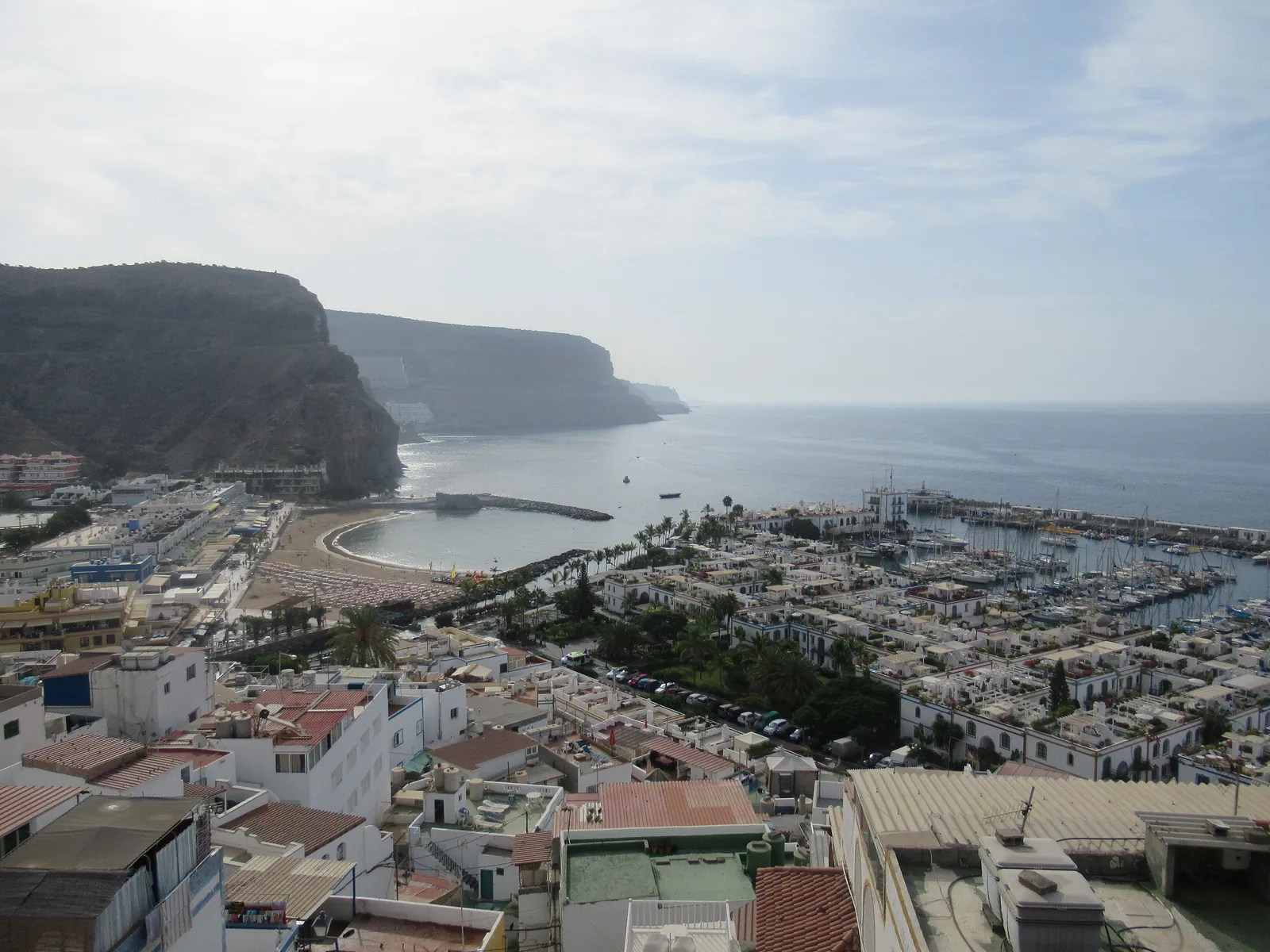
The beach at El Pajar is listed officially as Playa de Santa Águeda: 145 m of dark sand beside a small fishing quarter, classed as calm water, with a promenade and food and drink nearby. It is not a surf beach.
The beach at El Pajar is listed in the national beach inventory as Playa de Santa Águeda: 145 metres long, 58 metres wide, dark sand, calm water, in the fishing quarter (barrio marinero) of El Pajar. It has a seafront promenade, food and drink nearby, an anchorage, and a car park of 50 to 100 unguarded spaces. It is a local beach, not a resort one. It is also next to Arguineguín: the Ministry data used by InSpain puts the Arguineguín harbour about 2 km away. If you are looking for a surf spot, this is not it; the beach is classed as calm and nothing in the official data points to surfing.
El Pajar and Santa Águeda are in San Bartolomé de Tirajana, not in Mogán, which is why Mogán council's beach list does not include them. For the village and the neighbourhood, see El Pajar and Santa Águeda.
One beach, two names
Most visitors search for «El Pajar beach», but the inventory has no beach of that name. It lists Playa Santa Águeda, situated in the locality of El Pajar. Use both names when you look for it on a map.
The sand and the sea
The data gives dark sand and calm water, with medium occupancy and an urban setting. The strip is short, so a modest number of people soon fills it.
Calm is the official class. It does not replace your own check of the sea, the flag and any sign on the day. The inventory lists no lifeguard for this beach, so swim within your depth, close to shore, and not alone. The general rules are in beach safety on the south coast.
Is El Pajar a surf beach?
No official source describes surfing here, and the beach is classed as calm. Do not plan a surf trip around it. Swell can still vary with the weather, so look at the sea on the day.
Sun and sea temperature
Shade is something to bring yourself, and the sun here is strong for most of the year; sun, heat and UV on Gran Canaria has the basics. Island-wide averages from a secondary source put the sea at about 19 °C in February and March and 23 °C or a little more in September and October.
Facilities
The inventory lists food and drink, a seafront promenade, an anchorage and parking. It does not list toilets, showers, sunbed hire or a lifeguard. The bars and restaurants set their own opening hours and prices. Bring water and shade. The entry also marks the area as a protected zone (a Special Area of Conservation, ZEC), which is a reason to take your litter home and keep to the paths.
Getting to El Pajar beach from Arguineguín
The nearest main road is the GC-500, and the inventory lists easy access on foot, by car or by boat. It names bus lines 6 and 33 of Global for the area. Line 33 runs from Playa del Inglés through Arguineguín to Puerto de Mogán, and line 6 makes one trip a day to Cercados de Espino; the exact stops near the beach are not published, so check Global's pages before you plan around either. The overview of lines is in buses in and from Arguineguín.
From Arguineguín the beach is close enough for a taxi or a short drive. If you drive, the car park is not supervised, so leave nothing on view.
The cement works next door
The cement plant and its port lie on the Santa Águeda side, and the future of the port is the subject of a long dispute between the company and the Canary Islands government. The court case is open, as covered in the cement works between Arguineguín and Santa Águeda. There is no official data on how the plant affects the beach beyond the fact that it is there.
El Pajar next to other beaches
| Beach | Municipality | Length | Sand | Water |
|---|---|---|---|---|
| El Pajar (Santa Águeda) | San Bartolomé de Tirajana | 145 m | Dark | Calm |
| Pasito Blanco | San Bartolomé de Tirajana | 203 m | Dark | Calm |
| Arguineguín town beach (Perchel) | Mogán | 220 m | Golden and black | Calm |
For a beach with more services close by, Arguineguín town beach is the obvious choice, with toilets, showers and restaurants listed by the council. Pasito Blanco is the other low-key beach on this side. Further west, Playa de Tauro, Playa del Cura, Amadores, Puerto Rico and Puerto de Mogán make up the rest of the group, and the best beaches near Arguineguín ranks them. A walk-by is also easy to combine with the free things to do in Arguineguín.
Frequently asked questions
Is there a beach at El Pajar?
Yes. It is listed as Playa Santa Águeda, 145 m of dark sand in the El Pajar fishing quarter, with calm water and a seafront promenade.
Can you surf at El Pajar?
Nothing in the official data describes surfing, and the beach is classed as calm water. Treat it as a swimming and strolling beach.
Is El Pajar in Mogán?
No. El Pajar and Santa Águeda are in San Bartolomé de Tirajana, east of the Barranco de Arguineguín.
Does El Pajar beach have a lifeguard or toilets?
The inventory lists neither. It lists food and drink, a promenade, an anchorage and a car park. Bring water and shade.
How do I get to El Pajar beach?
By car on the GC-500, on foot or by boat. The inventory names Global lines 6 and 33 for the area; check the current timetable and stop before you go.
Is El Pajar beach near the cement works?
The cement plant and its port are on the Santa Águeda side of Arguineguín. The plant still operates, and its port is the subject of a court dispute.
Sources
- InSpain: Playa Santa Águeda – length, sand, access, services (Ministry for the Ecological Transition data)
- Turismo de Mogán: the beaches of Mogán – the beaches on the Mogán side
- ADEAC Blue Flag: 2026–27 results – municipality of Pasito Blanco
- Global: bus lines and timetables on the coast
- RTVC: the future of the Santa Águeda port